Drone Services for Construction Projects
Comprehensive aerial documentation, progress tracking, mapping, and data solutions for commercial and industrial construction projects.
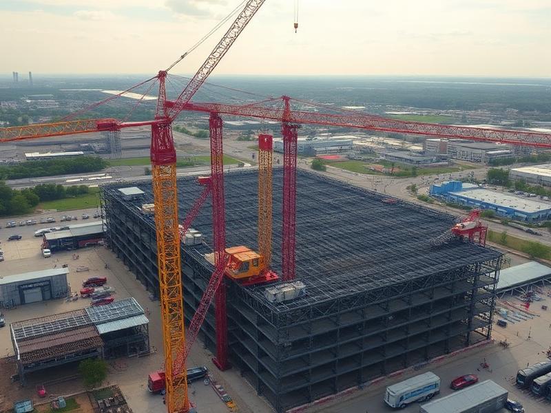
Aerial intelligence for every phase of construction
Construction projects involve multiple stakeholders, rapidly changing conditions, and significant investments. Accurate and timely information is critical to maintaining schedules, improving communication, and reducing costly delays.
AIS provides repeatable aerial documentation, site mapping, and visual intelligence that help project owners, contractors, and project managers monitor progress, verify completed work, and maintain centralized project records.
Why teams choose AIS
- Repeatable progress flights on a consistent schedule
- High-resolution imagery for stakeholder reporting
- Reduced site visits and travel costs
- Centralized visual records for every project phase
- Faster issue identification and verification
- Historical archives that protect against disputes
What we deliver
- Progress tracking
- Site overviews
- Orthomosaic mapping
- Earthwork documentation
- Project photography and video
- Asset documentation
Where AIS supports your work
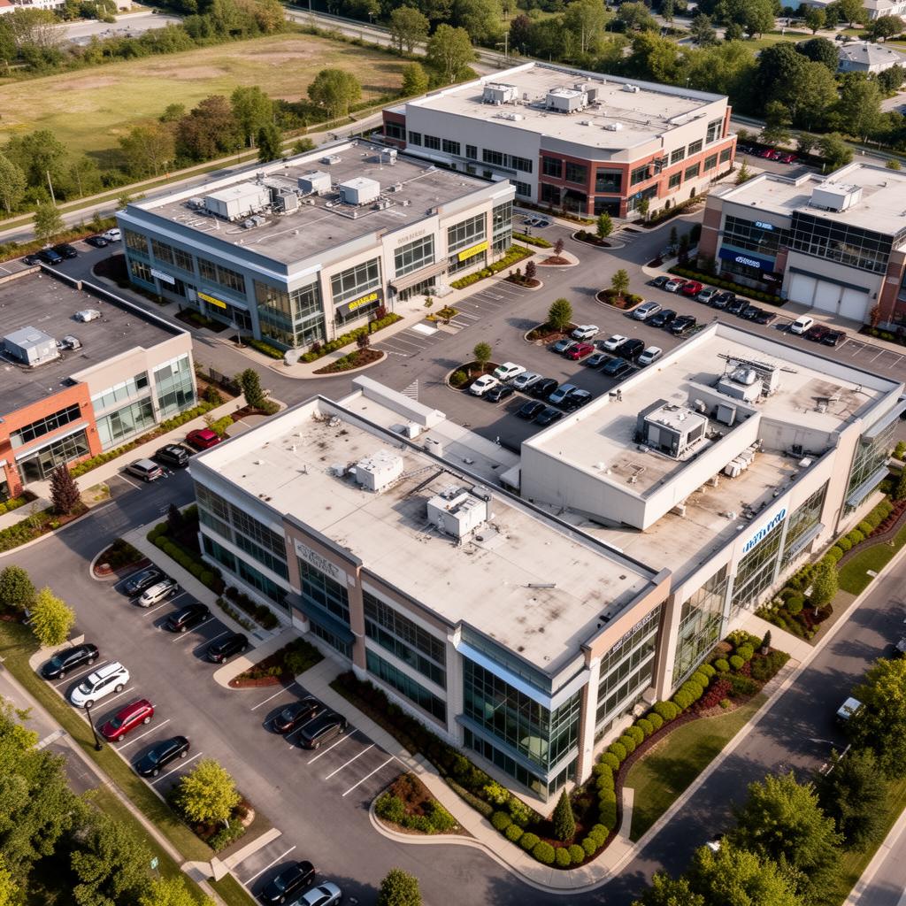
Commercial ground-up developments
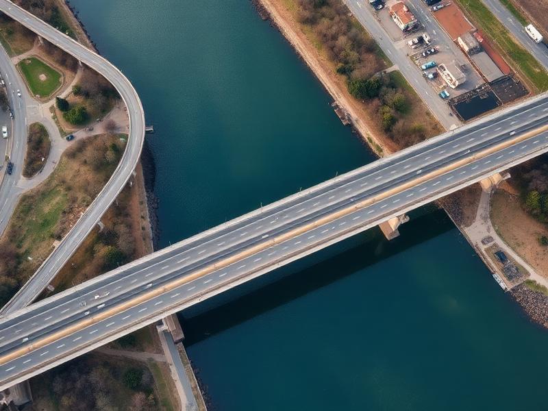
Highway, bridge, and roadway projects
Earthwork and grading operations
Industrial and warehouse construction
Owner and lender progress reporting
Closeout and as-built documentation
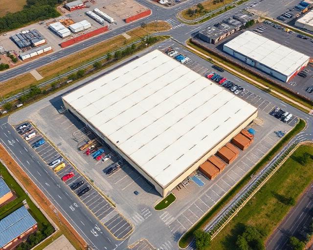
Recent aerial work


Ready to start your project?
Aero Industrial Services delivers aerial intelligence, documentation, mapping, and data solutions for industrial facilities, infrastructure projects, and organizations throughout the United States.