
Drone Services for Utilities
Data collection and infrastructure documentation solutions for utility providers.
Coverage across the corridor
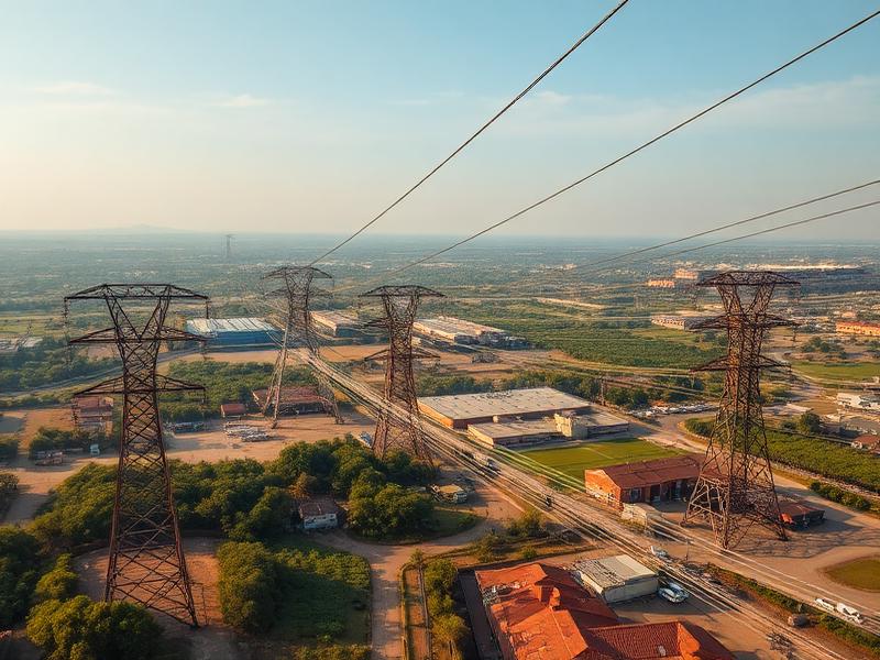
Utility assets often extend across large geographic areas and require regular monitoring and documentation. Drone technology allows organizations to capture accurate information safely and efficiently.
AIS supports utility providers with corridor-scale documentation, equipment-level imagery, and construction monitoring that scales from individual sites to entire service territories.
Why teams choose AIS
- Rapid coverage of long linear assets
- Reduced field crew time in hazardous areas
- Comprehensive equipment and pole imagery
- Improved storm and outage response documentation
- Centralized data for asset management systems
- Construction verification for new builds
What we deliver
- Utility corridor documentation
- Pole and equipment inspections
- Site mapping
- Asset imagery
- Construction documentation
- Infrastructure monitoring
Where AIS supports your work
Distribution and transmission line corridors
Substations and switchyards
Pole inventory and condition imagery
Right-of-way vegetation documentation
Storm damage and restoration records
New construction verification
Recent aerial work



Ready to start your project?
Aero Industrial Services delivers aerial intelligence, documentation, mapping, and data solutions for industrial facilities, infrastructure projects, and organizations throughout the United States.