HQ — Orange, TX · Nationwide Operations

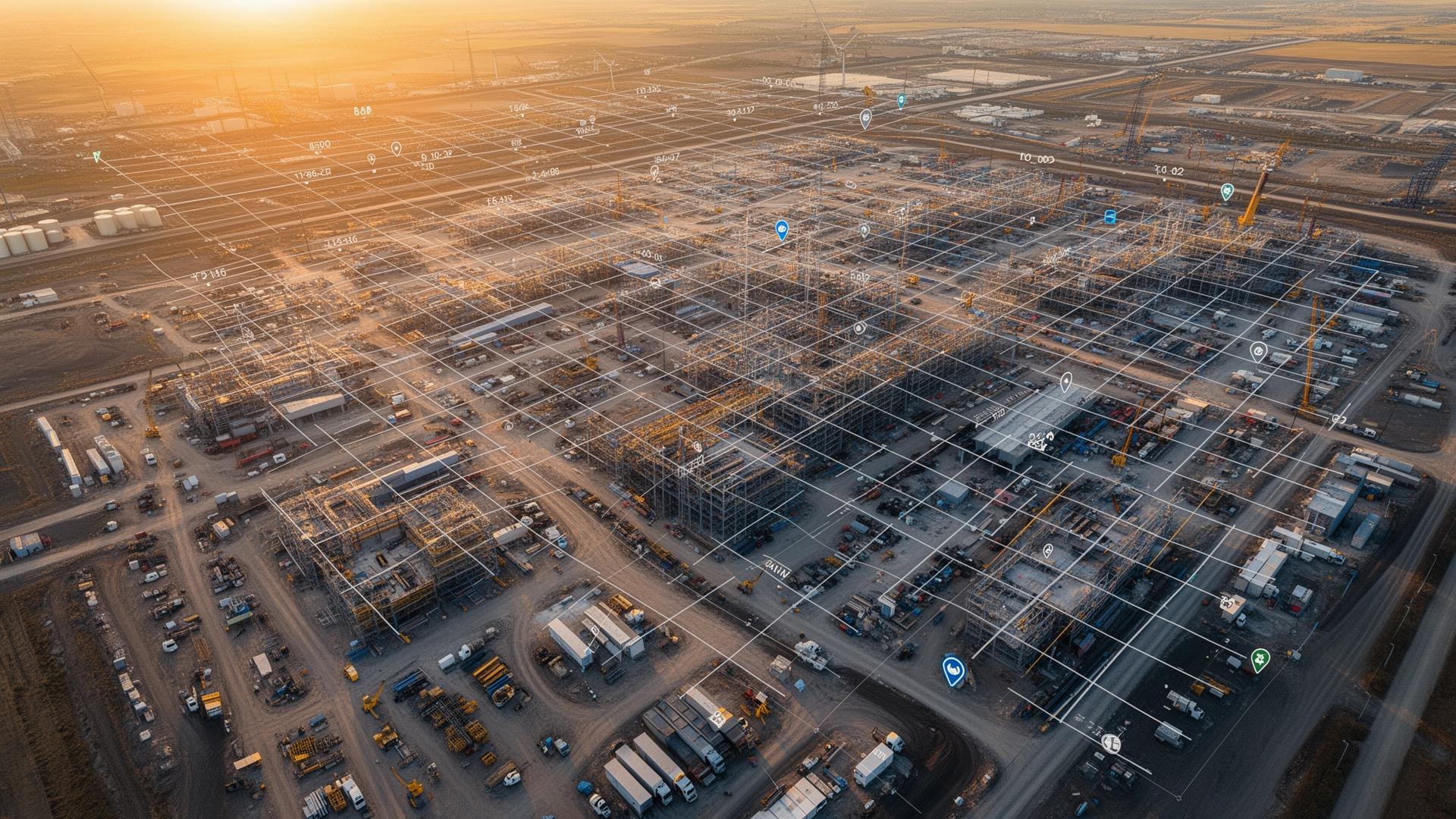
Site Mapping, Orthomosaics & Geospatial Intelligence
High-resolution mapping solutions that transform aerial data into actionable information for planning and decision-making.
Overview
Better Data Leads to Better Decisions
Modern projects depend on accurate and timely geospatial information. Traditional data collection methods can be time consuming and expensive.
AIS produces high-resolution orthomosaic maps and geospatial datasets that allow project teams to visualize conditions, improve planning efforts, and maintain accurate records of project sites.
Benefits
Why teams choose AIS
- Large-area data collection
- High-resolution orthomosaic mapping
- Improved planning capabilities
- Enhanced project visibility
- Accurate site records
- Faster data collection
Deliverables
What you receive
- Orthomosaic maps
- Geo-referenced imagery
- 3D models
- Point cloud data
- Site measurements
- Downloadable datasets
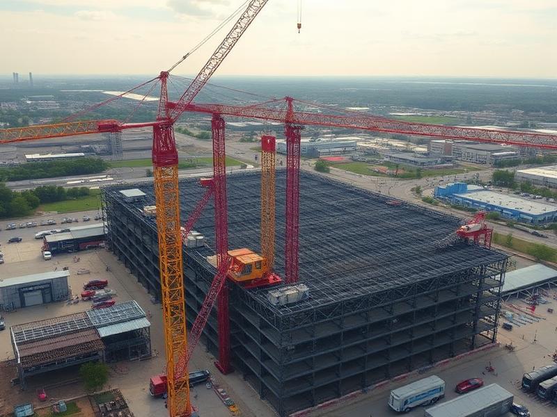
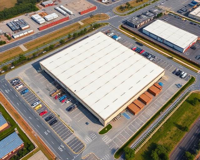
In the Field
Recent aerial work



Get Started
Ready to start your project?
Aero Industrial Services delivers professional aerial intelligence, documentation, and data solutions for industrial facilities, infrastructure projects, and construction teams across the United States.