
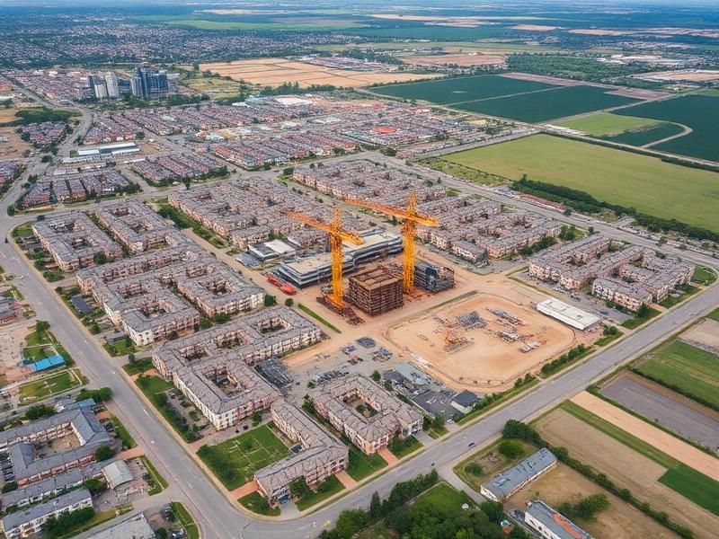
Drone Services for Real Estate Development
Professional aerial documentation and marketing solutions for development projects.
Visual data that supports every stage of the deal
Developers require accurate site information and compelling visuals to support planning, investment decisions, and stakeholder communication.
AIS provides repeatable aerial documentation that informs early-stage planning, monitors construction progress, and produces high-quality marketing assets for completed projects.
Why teams choose AIS
- High-quality assets for investor and lender materials
- Consistent records across multiple developments
- Faster, repeatable site overviews
- Better communication across teams and partners
- Marketing imagery that supports leasing and sales
- Long-term archives for portfolio reference
What we deliver
- Site documentation
- Mapping and visualization
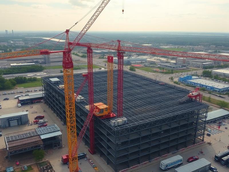
- Progress monitoring
- Marketing imagery
- Development reporting
- Project archives
Where AIS supports your work
Land acquisition and due diligence imagery
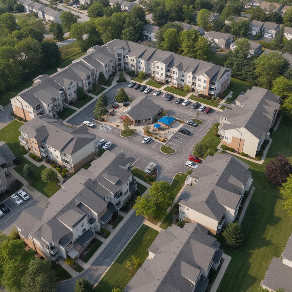
Master-planned communities and subdivisions
Mixed-use developments
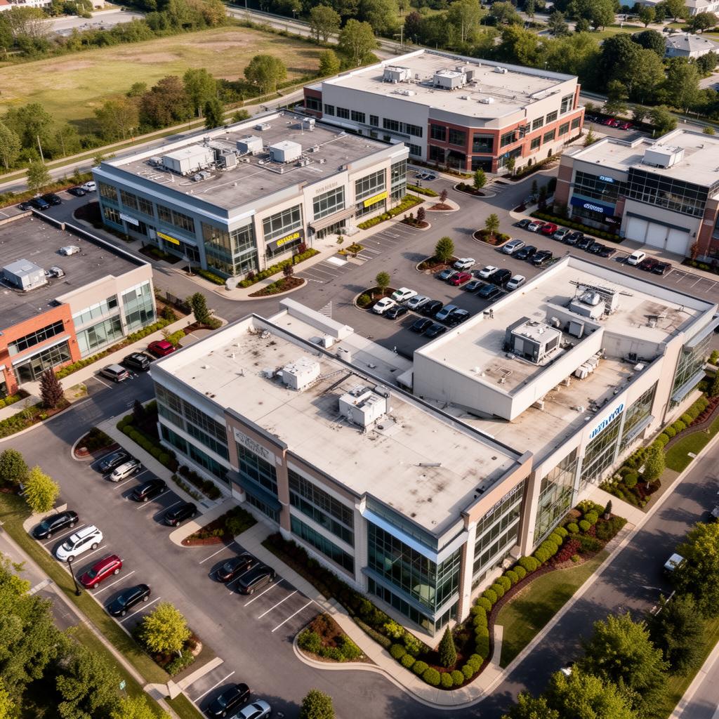
Commercial and industrial projects
Marketing and brochure photography
Closeout and post-completion archives
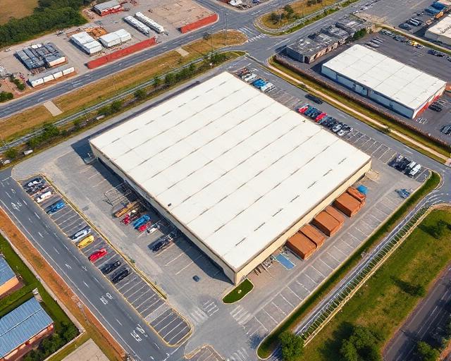
Recent aerial work

Ready to start your project?
Aero Industrial Services delivers aerial intelligence, documentation, mapping, and data solutions for industrial facilities, infrastructure projects, and organizations throughout the United States.