

Drone Services for Government Agencies
Professional aerial data solutions supporting infrastructure, public works, and asset management initiatives.
Better data for public infrastructure decisions
Government agencies require reliable information to support planning, maintenance, and infrastructure management. Drone technology provides cost-effective data collection while improving visibility and documentation.
AIS supports federal, state, and municipal agencies with documentation programs for public works, capital projects, and ongoing asset management.

Why teams choose AIS
- Cost-effective alternative to traditional methods
- Faster response for time-sensitive documentation
- Comprehensive visual records for public accountability
- Coverage across multi-site portfolios
- Repeatable monitoring for ongoing programs
- Centralized archives for historical reference
What we deliver
- Infrastructure documentation
- Public works monitoring
- Site mapping
- Project documentation
- Asset imagery
- Disaster assessment support
Where AIS supports your work
Municipal capital improvement projects
Public roadway and bridge documentation
Park and public facility imagery
Pre- and post-event damage documentation
Long-term asset management records
Agency planning and presentation imagery
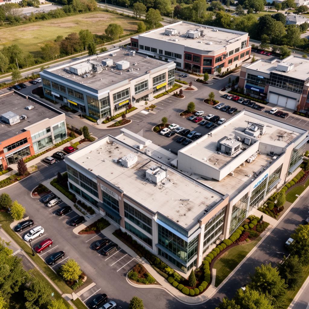
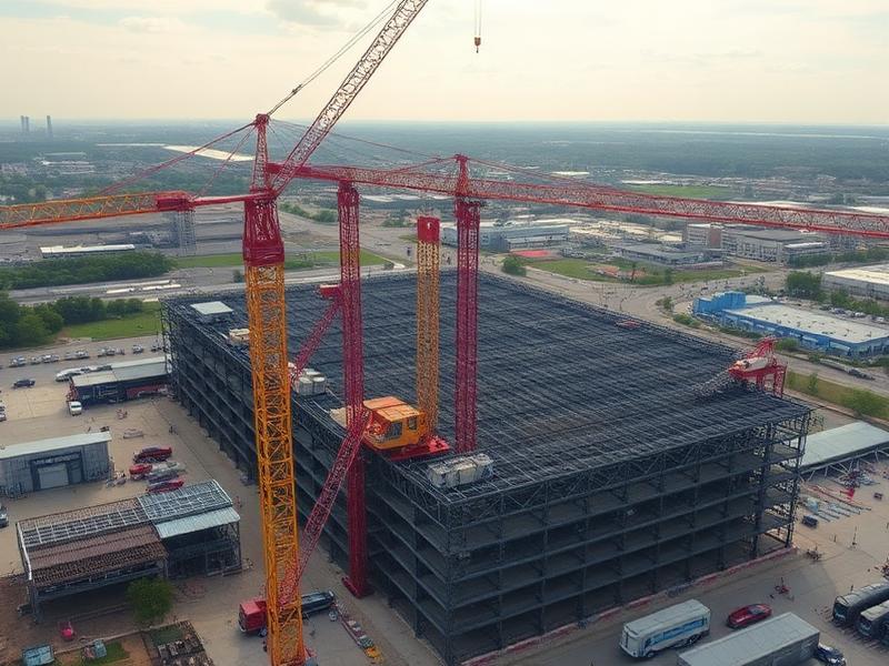
Recent aerial work


Ready to start your project?
Aero Industrial Services delivers aerial intelligence, documentation, mapping, and data solutions for industrial facilities, infrastructure projects, and organizations throughout the United States.