Construction Documentation & Progress Intelligence
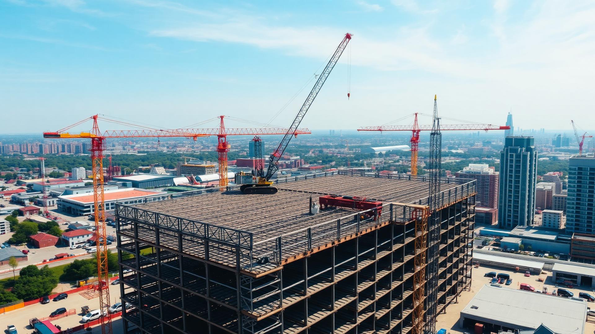
Comprehensive aerial documentation and centralized project data for commercial, industrial, and infrastructure projects from groundbreaking through completion.
Keep Every Stakeholder Informed
Construction projects move quickly and involve multiple teams, contractors, and decision makers. Without consistent documentation, communication gaps can occur, resulting in delays, disputes, and increased costs.
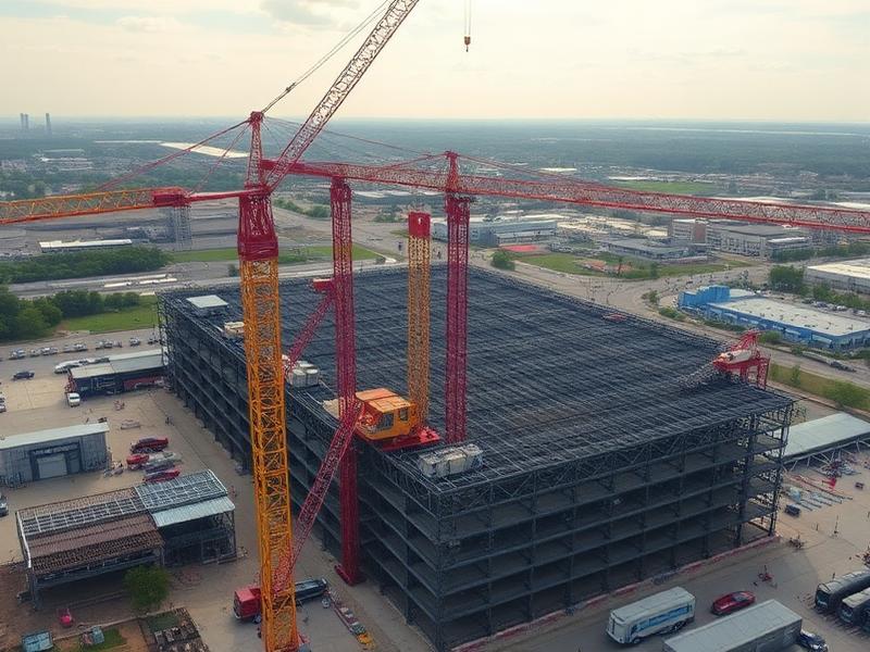
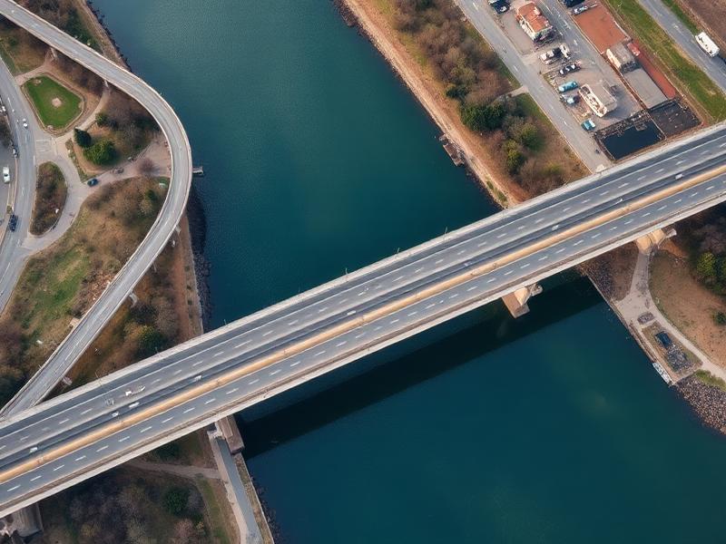
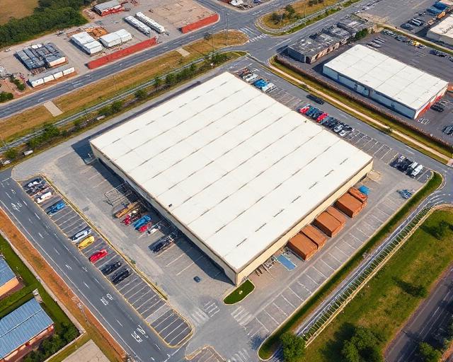
AIS provides repeatable aerial data collection and visual documentation throughout every phase of construction. High-resolution imagery and project archives help project teams verify completed work, monitor site activity, communicate progress, and maintain accurate records from start to finish.
Why teams choose AIS
- Repeatable progress flights
- High-resolution aerial photography
- Before-and-after comparisons
- Improved stakeholder communication
- Historical project archives
- Reduced site visits
- Centralized project records
What you receive
- Weekly or monthly progress reports
- Aerial photos and videos
- Orthomosaic maps
- Site overview reports
- Project archives
- Secure client portal access
Recent aerial work

Ready to start your project?
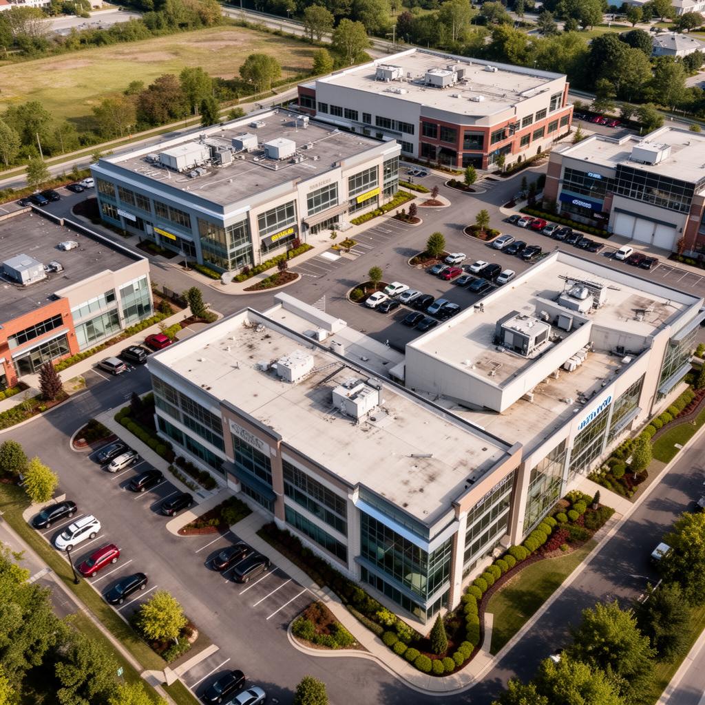
Aero Industrial Services delivers professional aerial intelligence, documentation, and data solutions for industrial facilities, infrastructure projects, and construction teams across the United States.