

Drone Services for Transportation Infrastructure
Aerial documentation and mapping solutions for transportation projects and critical infrastructure.
Move projects forward with current site data
Transportation assets require accurate documentation to support planning, maintenance, and construction activities. Drone data provides rapid site visibility and comprehensive records.
AIS supports transportation owners, contractors, and engineering partners with reliable aerial imagery across linear corridors and complex interchanges.

Why teams choose AIS
- Rapid coverage of long linear projects
- Improved coordination across multiple stakeholders
- Detailed visual records of bridge and roadway conditions
- Reduced lane closures and field time
- Repeatable progress documentation
- Centralized archives for project lifecycles
What we deliver
- Bridge documentation
- Highway construction monitoring
- Rail corridor mapping
- Site inspections
- Progress tracking
- Infrastructure imagery
Where AIS supports your work
Highway widening and interchange projects
Bridge documentation and monitoring
Rail corridor and yard imagery
Port and intermodal facilities
DOT and agency progress reporting
Public works construction archives
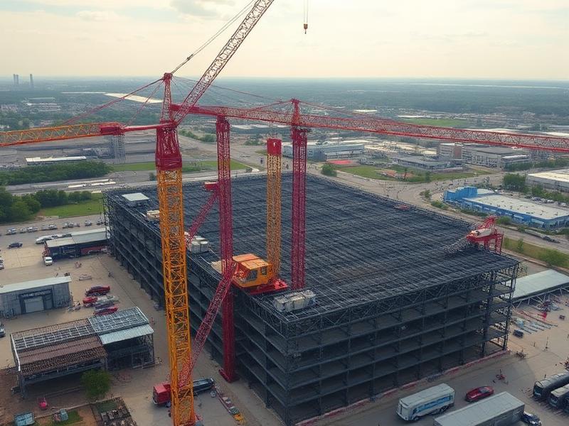
Recent aerial work



Ready to start your project?
Aero Industrial Services delivers aerial intelligence, documentation, mapping, and data solutions for industrial facilities, infrastructure projects, and organizations throughout the United States.